United States
Every county, one page eachParcel maps, history, Census figures and offices
Pick a state, then a county. Each page says what the public maps cover, where the county's lines came from, and whom to ask before you build, dig or sell. Part of Parcel Chart, which draws your own lot on those maps.
Map
Pick a state
3,143 county pages in 50 states and the District of Columbia.
What a page shows
For example, Travis County, Texas
Travis County: founded 1840, 11 boundary changes on record, 386,682 parcels mapped, 1,290,188 people in 2020. Every page shares the same shape: the county's outline and neighbours, its history, what the parcel and address maps cover, Census figures, and the offices to ask.
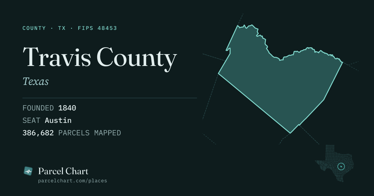 Open the Travis County page
A to Z
States and their county pages
- Alabama 67 counties
- Alaska 30 counties
- Arizona 15 counties
- Arkansas 75 counties
- California 58 counties
- Colorado 64 counties
- Connecticut 8 counties
- Delaware 3 counties
- District of Columbia 1 county
- Florida 67 counties
- Georgia 159 counties
- Hawaii 5 counties
- Idaho 44 counties
- Illinois 102 counties
- Indiana 92 counties
- Iowa 99 counties
- Kansas 105 counties
- Kentucky 120 counties
- Louisiana 64 counties
- Maine 16 counties
- Maryland 24 counties
- Massachusetts 14 counties
- Michigan 83 counties
- Minnesota 87 counties
- Mississippi 82 counties
- Missouri 115 counties
- Montana 56 counties
- Nebraska 93 counties
- Nevada 17 counties
- New Hampshire 10 counties
- New Jersey 21 counties
- New Mexico 33 counties
- New York 62 counties
- North Carolina 100 counties
- North Dakota 53 counties
- Ohio 88 counties
- Oklahoma 77 counties
- Oregon 36 counties
- Pennsylvania 67 counties
- Rhode Island 5 counties
- South Carolina 46 counties
- South Dakota 66 counties
- Tennessee 95 counties
- Texas 254 counties
- Utah 29 counties
- Vermont 14 counties
- Virginia 133 counties
- Washington 39 counties
- West Virginia 55 counties
- Wisconsin 72 counties
- Wyoming 23 counties
See your own lot on these maps
Open your county on Parcel Chart's free map and click your parcel. Save it with a free account; the full record of your place (site map, projects, documents) is Pro, in early access.